Holiday cottages in Gloucestershire
Cosy Gloucestershire country cottages, town centre apartments, luxury holiday cottages, romantic retreats, dog friendly cottages, cottages with an open fire, family holiday cottages and much more.
You are here: Home > Gloucestershire towns and villages > Uley
Uley is a picturesque village and civil parish located in Gloucestershire, England, nestled within a wooded valley along the Cotswold escarpment. Positioned on the B4066 road, it lies between the towns of Dursley and Stroud.
The parish encompasses several nearby hamlets: Elcombe, Shadwell, and Bencombe to the south, and Crawley to the north.
Historically, Uley was a thriving center during the early Industrial Revolution, particularly known for its production of blue cloth. Although its population had declined by the 2011 census to 1,151 residents, the village retains much of its historical charm. The name 'Uley' is believed to derive from the Old English, meaning 'clearing in a yew wood', and was first recorded as Euuelege in the Domesday Book.
Cosy Gloucestershire country cottages, town centre apartments, luxury holiday cottages, romantic retreats, dog friendly cottages, cottages with an open fire, family holiday cottages and much more.
Uley is located in Gloucestershire, near the western edge of the Cotswold Hills. It lies between the market towns of Dursley (about 2 miles away) and Stroud (around 6 miles to the northeast).
Geographically, Uley sits in a valley beneath Uley Bury, an Iron Age hill fort, and is part of the Cotswolds Area of Outstanding Natural Beauty (AONB). The village is accessible via the B4066 road and is within reach of the M5 motorway, making it convenient for visitors traveling from Bristol, Bath, or Cheltenham.
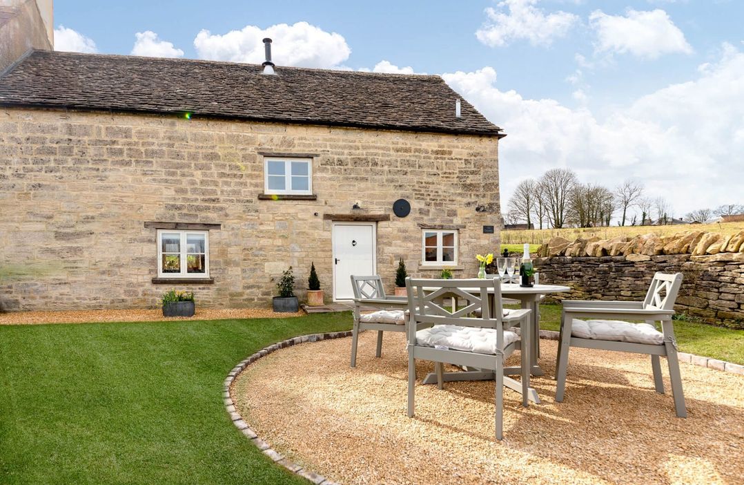
Nestled in the heart of the Cotswolds, Uley offers a peaceful escape with a selection of charming holiday cottages perfect for couples, families, and walkers alike. Surrounded by rolling hills, ancient woodlands, and scenic footpaths - including the renowned Cotswold Way - these cottages provide a cosy and comfortable base for exploring the area's natural beauty and historic landmarks.
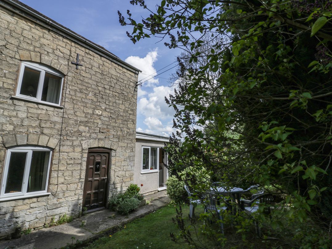
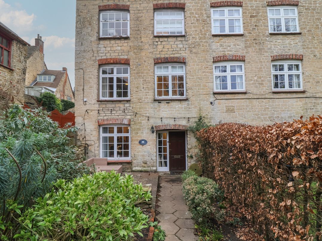
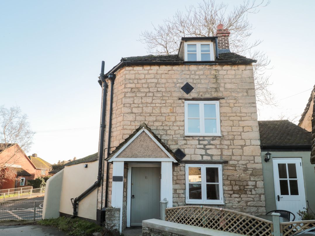
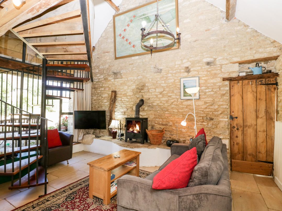
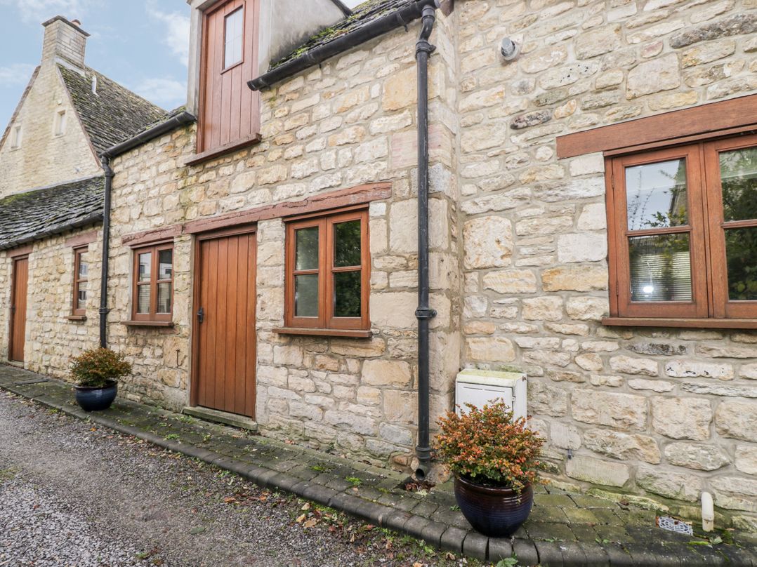
Whether you're looking for a rustic stone cottage with traditional features or a modern retreat with sweeping valley views, Uley and the surrounding area has something to suit every taste.
 Dog friendly
 Dog friendly
 Dog friendly
 Dog friendly
 Dog friendly
 Dog friendly
 Dog friendly
 Dog friendly
For a limited time we are offering discounted entries on Visit Gloucestershire for businesses based in the Gloucestershire area.
Find out more